Brandgrens Rotterdam
Remember the war
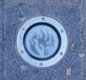
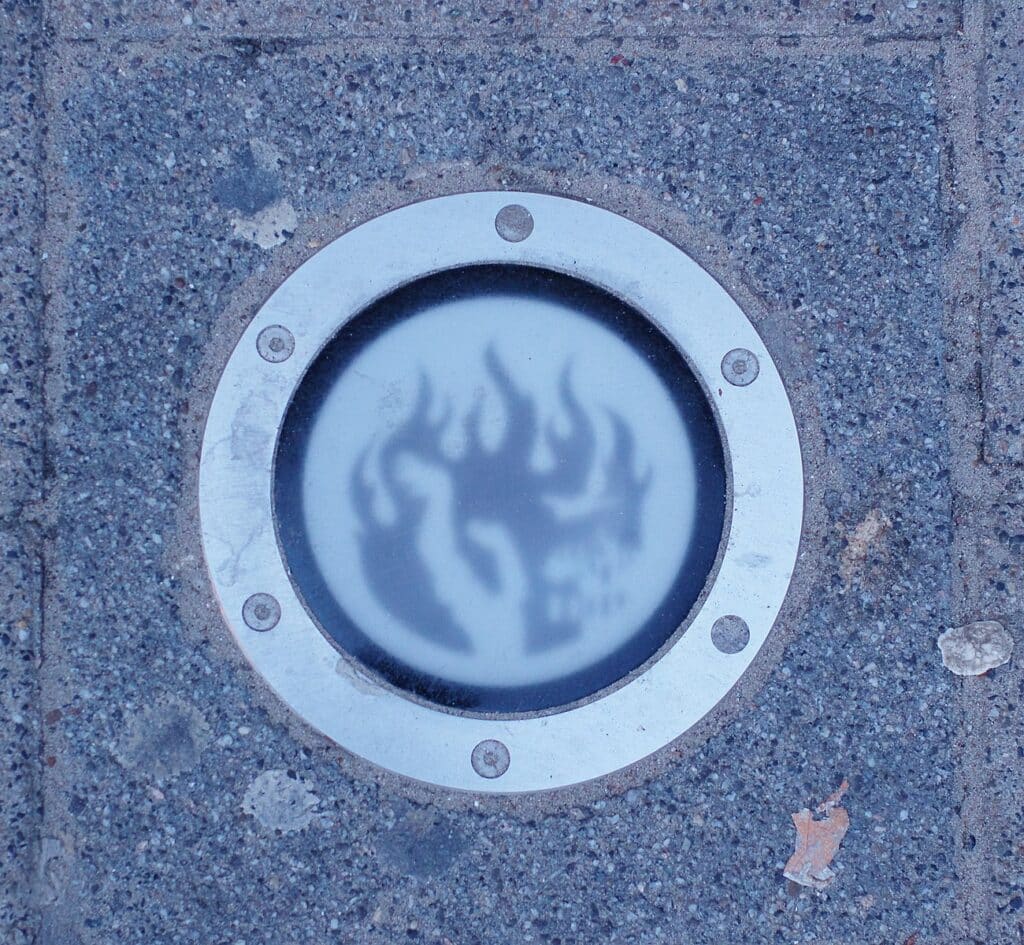
Wandering through the bustling streets of Rotterdam, the sight of those enigmatic red lamps subtly embedded in the pavement never fails to evoke a sense of intrigue and nostalgia within me. As a young girl, these scattered beacons stirred my curiosity, prompting a quest for their significance. It was only later, through grandparents' stories who experienced WWII in Rotterdam, that I uncovered their profound meaning, they mark the boundaries of the devastating fires that ravaged the city after the catastrophic bombing on May 14th, 1940.
This tragedy fundamentally reshaped Rotterdam, birthing a city reborn from the ashes of destruction. The amalgamation of old and new architecture within the city's center and parts of the north weaves a distinctive urban tapestry, embodying the resilience and adaptability of its inhabitants in the face of adversity.
For those drawn to delve deeper into Rotterdam's transformative past, there used to be an official website from the Stadsarchief offering a wealth of information about the Fire Boundary and a guided walk. Unfortunately, the website is no longer active. However, when I reached out to them, they kindly scanned the flyer with the route for me, which is now linked here. The 12-kilometer route, marked by the fire boundary, can be explored on foot or by bike. Additionally, the Stadsarchief has a Dutch website that provides extensive information about the war and its impact on the city. This exploration offers a unique perspective on how history continues to shape Rotterdam's architecture and spirit.
Find your way with 168 Insider Tips from our Local Spotters
Nice place right!? There’s so much more to discover:
Discover all other hidden gems in Rotterdam


The Sue Store (SUE)
Gluten-free vegan bliss
I personally love the tiramisu, rocky road, lavender lemon, and the very berry. The double choco cookie regularly finds its way to my bag as well...
by
Silvia
Graham
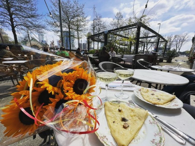

Louise Petit Dejeurner
A slice of Paris
From crepes with Comte cheese and truffles, Croque Monsieur, and delicious pastries to even a doggie croissant for your faithful four-pawed friend.
by
Silvia
Graham
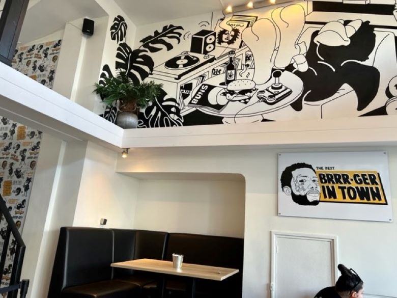

Freddy's Comfort Food
Southern Comfort
Freddy does things to chicken in an OG southern US way that is rarely done well. They have crunchy and juicy chicken, but even more, they have pazazz.
by
Silvia
Graham


AAP Noot Brood
Sourdough bakery near Schiemond
"AAP Noot Brood" in Rotterdam West is a neighborhood bakery with the tastiest sourdough bread around! Get some breakfast, coffee or a sandwich for lunch...
by
Nour
Nassar
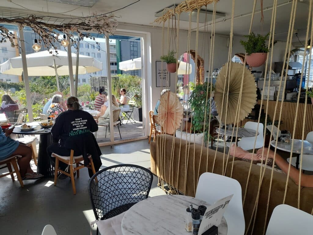

Teds Café
A rooftop all-day brunch spot
"Teds Café" in the Schiekade building is perfect if you want to have brunch, breakfast or lunch with a view of the Rotterdam skyline in a green terrace!
by
Nour
Nassar
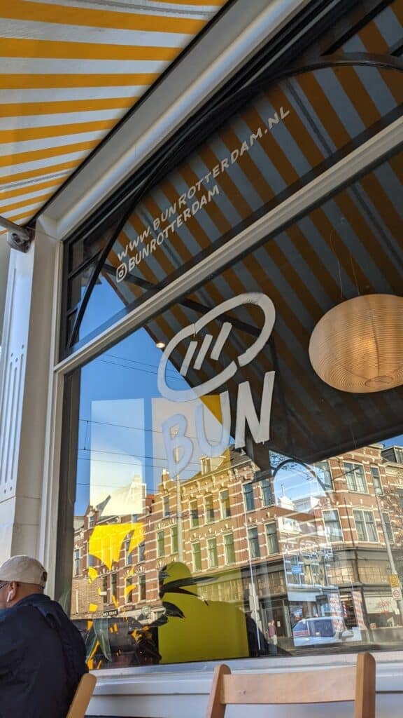

Bun
Stone oven baked sandwiches
Bun, once a Blijdorp pop-up, is now a Rotterdam West staple. Fresh buns, cool vibes, and standout options like the Vegan Extravaganza. Worth the wait!
by
Nour
Nassar


Kula
All-day café & yoga
"Kula" Cafe is a one-of-a-kind place overlooking the beautiful, calm waters of Coolhaven, in Rotterdam. Get a delicious drink and then join a yoga class!
by
Nour
Nassar
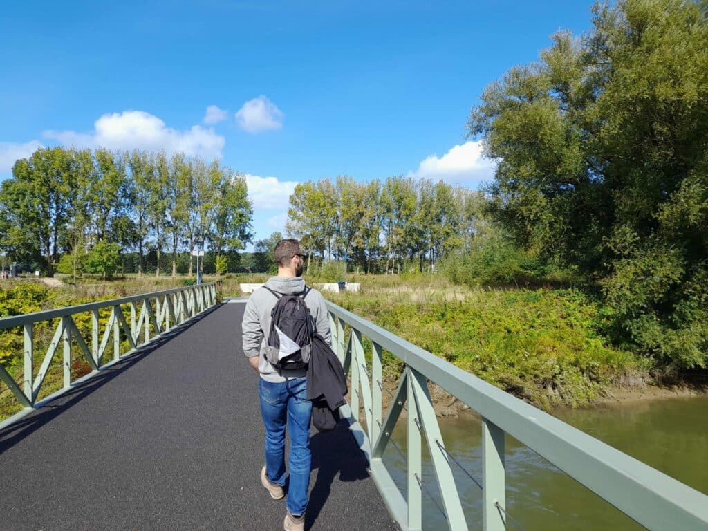

Brienenoord Island
Nature escape
"Brienenoord Island", right on the Maas in Rotterdam, is so beautiful! It has walking paths, but it's mostly a natural paradise, despite being artificial!
by
Nour
Nassar
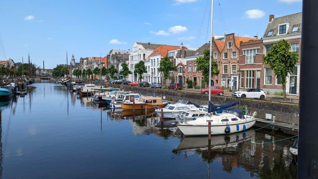

Historical Delfshaven
A walk through history
"Historic Delfshaven" is an area in Rotterdam filled with history and stories. It is one of the few places that survived the 1940 bombing...
by
Nour
Nassar
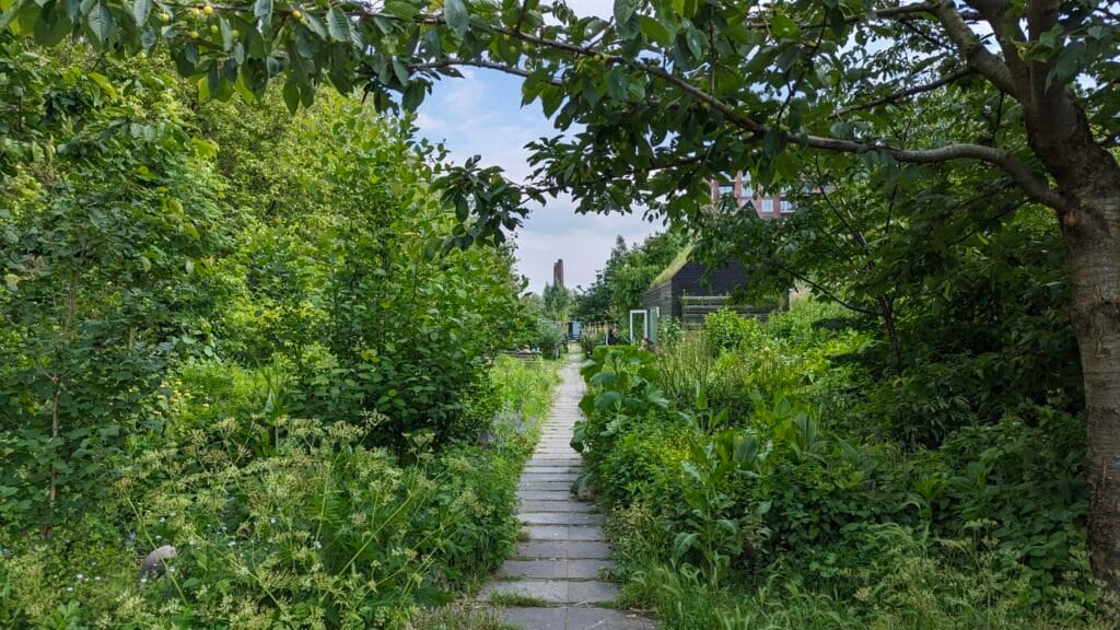

Dakpark
A rooftop haven in Delfshaven
The story of "Dak Park" in Rotterdam is inspiring: some people wanted this land to be developed, and others for a park to be built here. So they did both!
by
Nour
Nassar
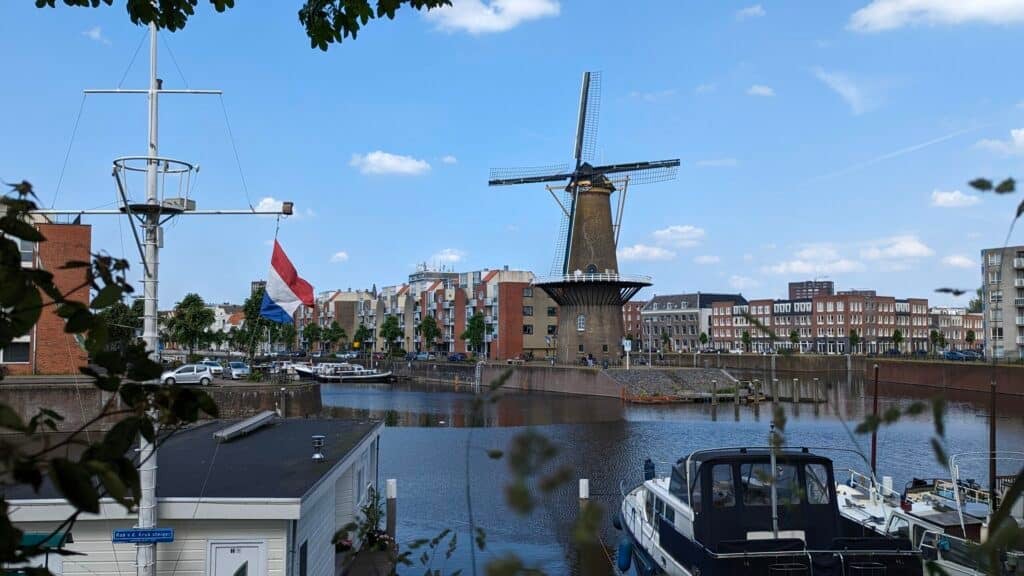

De Distilleerketel
Windmill in Delfshaven
De Distilleerketel windmill in Rotterdam is considered one of the Netherlands' largest windmills. It makes for an absolutely photogenic scene!
by
Nour
Nassar
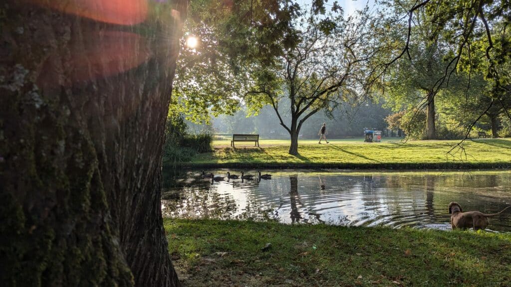

Het Park
City park green extravagance
Het Park in Rotterdam is a part of nature around the famous landmark Euromast. There are old buildings to visit, art & beautiful birds, too.
by
Silvia
Graham
Heading to Rotterdam?
168 Insider Tips from our local Spotters
Authentic Stories by Real People
Escape the Crowd & Travel Slow 🐌
... for just €9.99


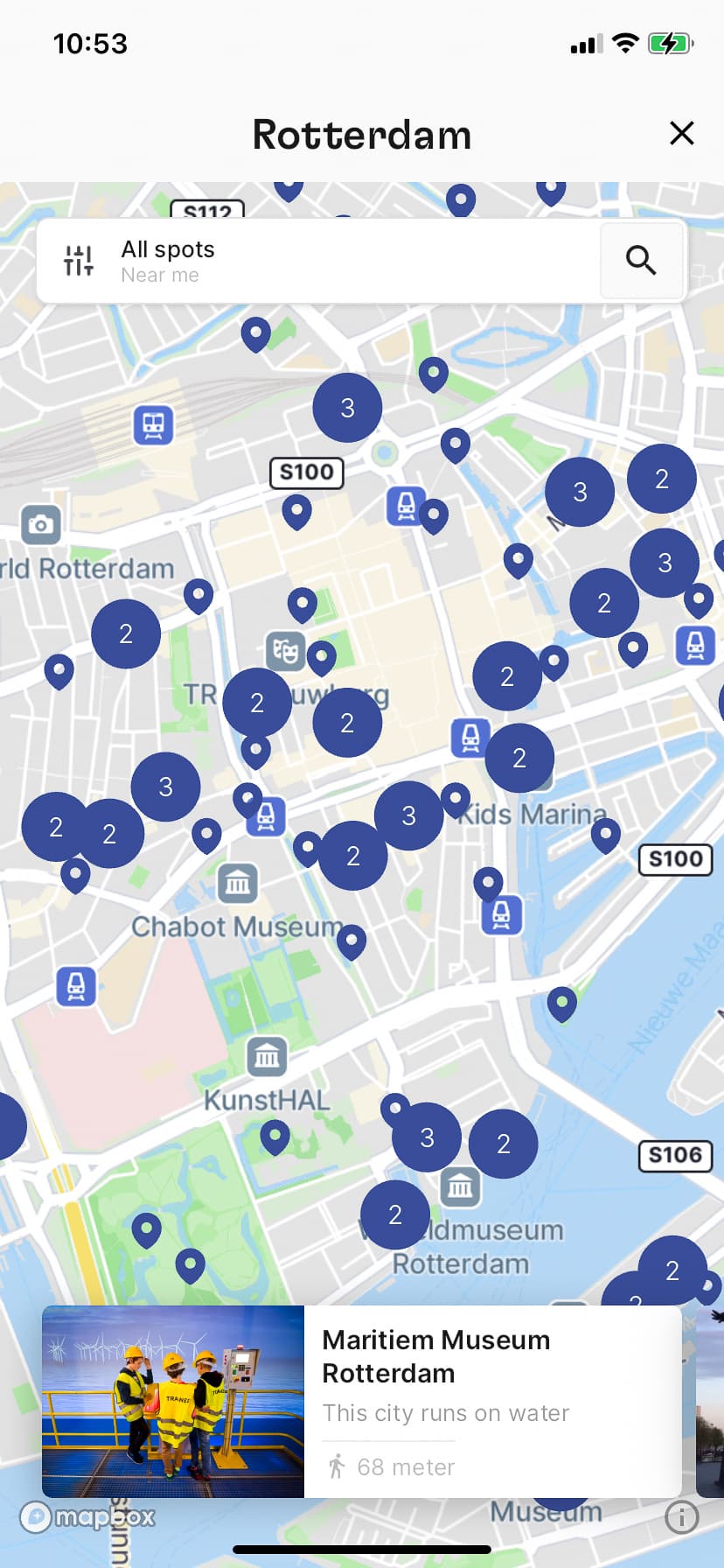


✓ 0 Insider Tips from our local Spotters
✓ 168 Insider Tips
✓ Escape the Crowds
✓ Find Spots nearby
✓ Authentic Stories
... for just €9.99
City guides by those who know the city in and out!
Our Locals' Favorite Art & culture
Our team loves Rotterdam
Get to know our other Spotters from Rotterdam
As featured on:


